 Tweet
Tweet
If trip reports don’t have to be Prado trips or 4wd trips (eventhough the kayaks travelled to and from home on the roof of the 120!) thought I would post about our little kayaking trip down Pumicestone Passage on the lee side of Bribie Island last weekend.

The next bit comes straight out of the tourist information sheets.
Pumicestone Passage is a narrow, shallow estuary with a meandering system of channels, sand banks and islands between Bribie Island and the mainland extending from Caloundra in the north to Deception Bay in the south.
It is 35 kilometres long and has a surface area of 63sq kilometres. The passage contains a marine park which has 24 islands and is bounded by 240 kilometres of shoreline.
The passage is recognised locally, nationally and internationally for its significant environmental values.
Habitats within and adjoining the passage include:
* mangroves and salt marshes
* sand flats and mud flats
* Coastal dunes
* Sea grass meadows
Many aquatic and terrestrial species inhabit one or a number of these communities including significant species like turtles, dugongs and migratory birds.
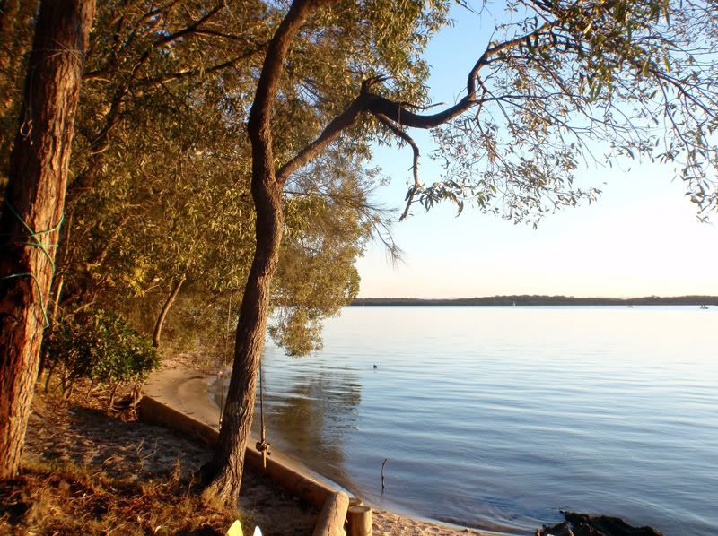
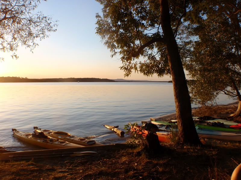
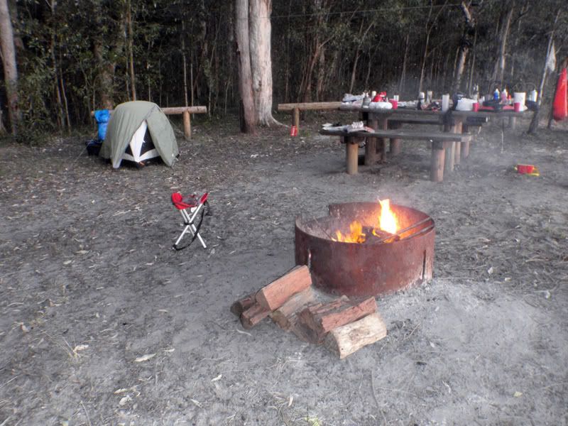
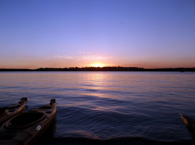
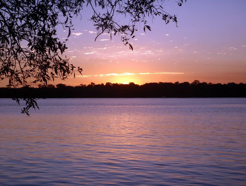
We set off North of Coochin Creek (to the South of Caloundra) at dead low tide and paddled to Mission Point where we camped overnight. Mission Point is only accessible by water so we had to pack everything we needed, tents, food, cooking gear etc on the kayaks.

All up our journey was about 25km plus about 5km of side-tracked paddlings here and there.
Mission Point was a great place to camp for the night and would be a pleasant spot to base more exploration from. Took #2 son’s D40 with us for photographs but it didn’t have an SD card (oops, I never take the cards out of my camera so didn’t expect it to be missing ) so the few pics I have are from various sources including phones.
The next bit comes straight out of the tourist information sheets.
Pumicestone Passage is a narrow, shallow estuary with a meandering system of channels, sand banks and islands between Bribie Island and the mainland extending from Caloundra in the north to Deception Bay in the south.
It is 35 kilometres long and has a surface area of 63sq kilometres. The passage contains a marine park which has 24 islands and is bounded by 240 kilometres of shoreline.
The passage is recognised locally, nationally and internationally for its significant environmental values.
Habitats within and adjoining the passage include:
* mangroves and salt marshes
* sand flats and mud flats
* Coastal dunes
* Sea grass meadows
Many aquatic and terrestrial species inhabit one or a number of these communities including significant species like turtles, dugongs and migratory birds.
We set off North of Coochin Creek (to the South of Caloundra) at dead low tide and paddled to Mission Point where we camped overnight. Mission Point is only accessible by water so we had to pack everything we needed, tents, food, cooking gear etc on the kayaks.
All up our journey was about 25km plus about 5km of side-tracked paddlings here and there.
Mission Point was a great place to camp for the night and would be a pleasant spot to base more exploration from. Took #2 son’s D40 with us for photographs but it didn’t have an SD card (oops, I never take the cards out of my camera so didn’t expect it to be missing ) so the few pics I have are from various sources including phones.
Comment