 Tweet
Tweet
My wife an I spent some time up in the Stanthorpe region over the last couple of days, so as a day trip, we did the Sundown NP trip out of the "Dirty Weekends" book. Not too many photos unfortunately, the navigator was too busy holding on to take many stills, but as soon as I can figure out how to get vision from my handicam to the PC and upload that, all will be sweet.
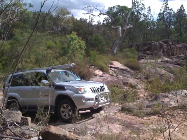
The HEMA map we were working off indicated a number of tracks besides the one we travelled as being "unmaintained". I would say that the last time the main track had any work done was around 1850, or maybe as late as 1860, when the mines shut down. The unmaintained tracks didn't look any different from the primary route as far as we could see.
Seriously though, it was a rough, rocky track in sections with some steep inclines over a very loose surface. For those who know Mt Mee north of Brisbane, think "A Break" with brick sized rocks liberally scattered over it. I only have the standard road tyres at present, so took it very easy - in fact it took us an hour and a half to travel the 18 kilometres from the entrance to Burrows Waterhole, but it was worth every metre. Burrows has heaps of room for camping and while the river was muddy at the time, it was great for a swim. Reedys Waterhole nearby didn't have as much room or as much grass as Burrows, but would be a good alternative.
Surprisingly, we saw a number of deer grazing on the grassy hilltops, with one herd numbering about 20. The usual Kangaroos kept leaping across the road right in front of us and the odd goanna grudginly moved off the "road" for us. It's a trip I'll do again, once I get a proper set of tyres. A lift wouldn't hurt either.
Burrows Waterhole Camping area

The Severn River at Burrows - muddy from the recent rain in the headwaters I guess

The following photos are from a little recce I did while my wife took a nap. I tried to take a shortcut to visit Nundubbamere Falls, along a road even the local chicken scratch wine country maps showed. Suffice to say I was impressed by the fact it deteriated into a rocky track, but not when, after 5 or 6 kilometers of crossing farm paddocks, opening and shutting gates, I came to one that was locked with a padlock, so had to retrace my steps.

And finally, Bean Creek Falls near Urbenville, on the way home.

The HEMA map we were working off indicated a number of tracks besides the one we travelled as being "unmaintained". I would say that the last time the main track had any work done was around 1850, or maybe as late as 1860, when the mines shut down. The unmaintained tracks didn't look any different from the primary route as far as we could see.
Seriously though, it was a rough, rocky track in sections with some steep inclines over a very loose surface. For those who know Mt Mee north of Brisbane, think "A Break" with brick sized rocks liberally scattered over it. I only have the standard road tyres at present, so took it very easy - in fact it took us an hour and a half to travel the 18 kilometres from the entrance to Burrows Waterhole, but it was worth every metre. Burrows has heaps of room for camping and while the river was muddy at the time, it was great for a swim. Reedys Waterhole nearby didn't have as much room or as much grass as Burrows, but would be a good alternative.
Surprisingly, we saw a number of deer grazing on the grassy hilltops, with one herd numbering about 20. The usual Kangaroos kept leaping across the road right in front of us and the odd goanna grudginly moved off the "road" for us. It's a trip I'll do again, once I get a proper set of tyres. A lift wouldn't hurt either.
Burrows Waterhole Camping area
The Severn River at Burrows - muddy from the recent rain in the headwaters I guess
The following photos are from a little recce I did while my wife took a nap. I tried to take a shortcut to visit Nundubbamere Falls, along a road even the local chicken scratch wine country maps showed. Suffice to say I was impressed by the fact it deteriated into a rocky track, but not when, after 5 or 6 kilometers of crossing farm paddocks, opening and shutting gates, I came to one that was locked with a padlock, so had to retrace my steps.
And finally, Bean Creek Falls near Urbenville, on the way home.
 Snaga
Snaga
Comment